Free online route planner
Plan trail running, hiking, and GPX routes without signup.
TrailSplits is a free route planner for trail runs, hikes, cycling, and mountain routes. Build a route, import GPX, export GPX, inspect elevation, generate loops, and share a 3D flyover.
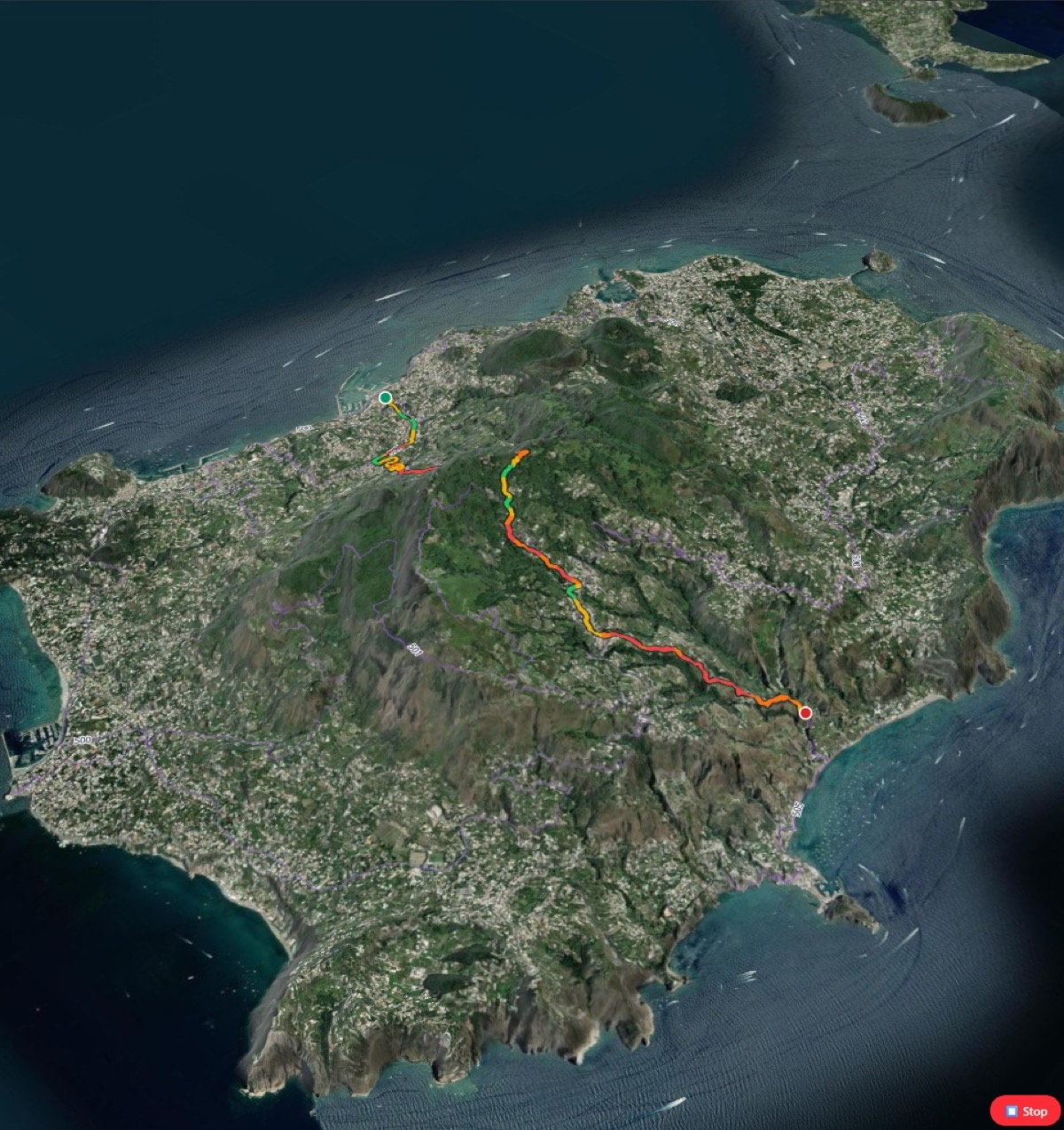
Search places or click the map to add waypoints.
Prefer trails, adjust hills, or generate a loop from one start point.
Review elevation, surface, gradient, snow, POIs, and 3D terrain.
Export GPX, copy a group invite, share a 3D flyover, or print a roadbook.
What the Planner includes
The Planner combines route drawing, GPX import, trail-biased routing, public trace heatmaps, outdoor POIs, surface cues, snow context, and route sharing in one browser tool.
Bring routes in, adjust them, and send clean GPX back to your watch.
Use route profile, gain, loss, and color-coded steepness before committing.
Click one start point and compare loop candidates around a target distance.
Copy a route invite, share a 3D flyover, export video, or print a route roadbook.
Route Planner FAQ
Can I use the TrailSplits route planner without signing up?
Yes. You can plan routes, import GPX files, export GPX files, create roundtrip loops, and share routes without creating an account.
Does TrailSplits export GPX for Garmin, Coros, Suunto, and Apple Watch?
Yes. TrailSplits exports standard GPX files that work with common GPS watches, navigation apps, and mapping tools.
Can I upload a GPX route and edit it?
Yes. You can import one or more GPX files, merge them, reverse the route, adjust points, inspect elevation and surface context, then export a new GPX.
Can TrailSplits generate roundtrip loops?
Yes. The Planner can generate loop candidates from a start point and target distance, then compare route quality, distance, surface, and elevation.
What makes TrailSplits useful for trail running and hiking?
TrailSplits combines trail-biased routing with elevation, gradients, public trace heatmap, outdoor POIs, surface analysis, snow context, GPX tools, 3D flyovers, and printable route roadbooks.